An America’s Cup meterologist has posted his weather prediction on the team blog
The strong w-sw sea breeze that caused the damage on Saturday moderated early in the week, but by Thursday – first race day for Dean Barker and crew – it will be back to its boat-breaking best.
Emirates Team New Zealand (ETNZ) meteorologist Roger (Clouds) Badham says that at this time of the year San Francisco weather comes in three to five day cycles. Locals say the best weather is in September/October.
I completely agree with his statement on the best weather months, but I guess I qualify as a local. Spring and Fall offer dry warm weather and moderation while the summer months bring humidity with chilly temperatures and big afternoon breeze.
As “Clouds” rightly suggests the driver of the big summer breeze is a temperature differential between the Bay Area getting cooled at night by the ocean and the heated inland area during the day.
I’ve heard it referred locally (among sailors) as proof how much Sacramento really “sucks”.
A quick look at forecasts shows nearly perfect conditions later this week, yet that’s not what ETNZ is predicting on their blog. So I downloaded a GRIdded Binary (GRIB) file to see if I could verify what “Clouds” sees.
GRIB is a format for meteorological data specified by the World Meteorological Organization’s Commission for Basic Systems. There are many choices of free software that will download, manipulate and display GRIBs. I tend to use zyGrib.
Below is a small subset of the latest images, which shows a solid wall of 30+ winds off-shore (!) but light winds of 10 knts around the Bay Area from 11am to 5pm on Thursday and on Friday. The problem when looking at these charts, however, is trying to factor in the dominant local/shore effects. The Golden Gate, for example, tends to be a funnel or convergence zone and that is where the races will be held.
Thursday morning:

Thursday afternoon:

Friday morning:

Friday afternoon:

A solid yellow can be nasty (25+ knts) to deal with. Turquoise (10 knts) is generally what you want to see. Great day to go for a sail, right? Not quite. The race venue will see some kind of variation from this high-level map. As I mentioned there’s a convergence near the Golden Gate Bridge.
When I sail in the Bay Area I know how dangerous it can be to rely on a GRIB view alone. A single day around the Bay can involve a dozen or more micro-climate areas with extremely variable and dangerous conditions at places like the “Slot” near Alcatraz, or the aptly named Hurricane Gulch and the unpredictable river of Raccoon Strait.
Fortunately there are many localized data sources. Last Saturday the wind sensor near Crissy Field (just inside the Golden Gate Bridge) posted rather high wind readings compared with the overall area. You can review it on SailFlow.com.

The AC45s will definitely be crashing if they see spikes into the 30 knt range like that. No wonder teams saw some major breakage this past weekend.
Since the Team NZ crew of six arrived in California late last week, the Bay has been dishing up 30 knot wind gusts and choppy seas, which have already claimed three of the 11 boats out practising.
Team NZ have come through the practice days unscathed, but not without a few hairy moments. Their training partner, Luna Rossa Swordfish, was not so fortunate – suffering a spectacular end-over-end capsize, destroying their AC45 wing. The Italians will need to use another wing if they are to be on the startline when racing begins in earnest on Wednesday (NZ time).
The strong sea breezes and wind against tide also flipped Artemis and Team Korea, and could cause more carnage in this first event of the 2012-13 World Series.
Photos from the team site show the boat bearing away downwind with hulls flat but the bows under heavy pressure. When you have so much spray in your face that you can’t see the sails, it’s time to reduce sail area.

Source: ETNZ
The same Crissy Pier wind sensor predicts 7-12 knts in the morning on Thursday and 10-20 knts in the afternoon. That typically means it will blow 15 knts by noon and 25 knts by 2pm. As you can see a localized prediction can be quite different from the high-level area map view that indicates 10 knts.
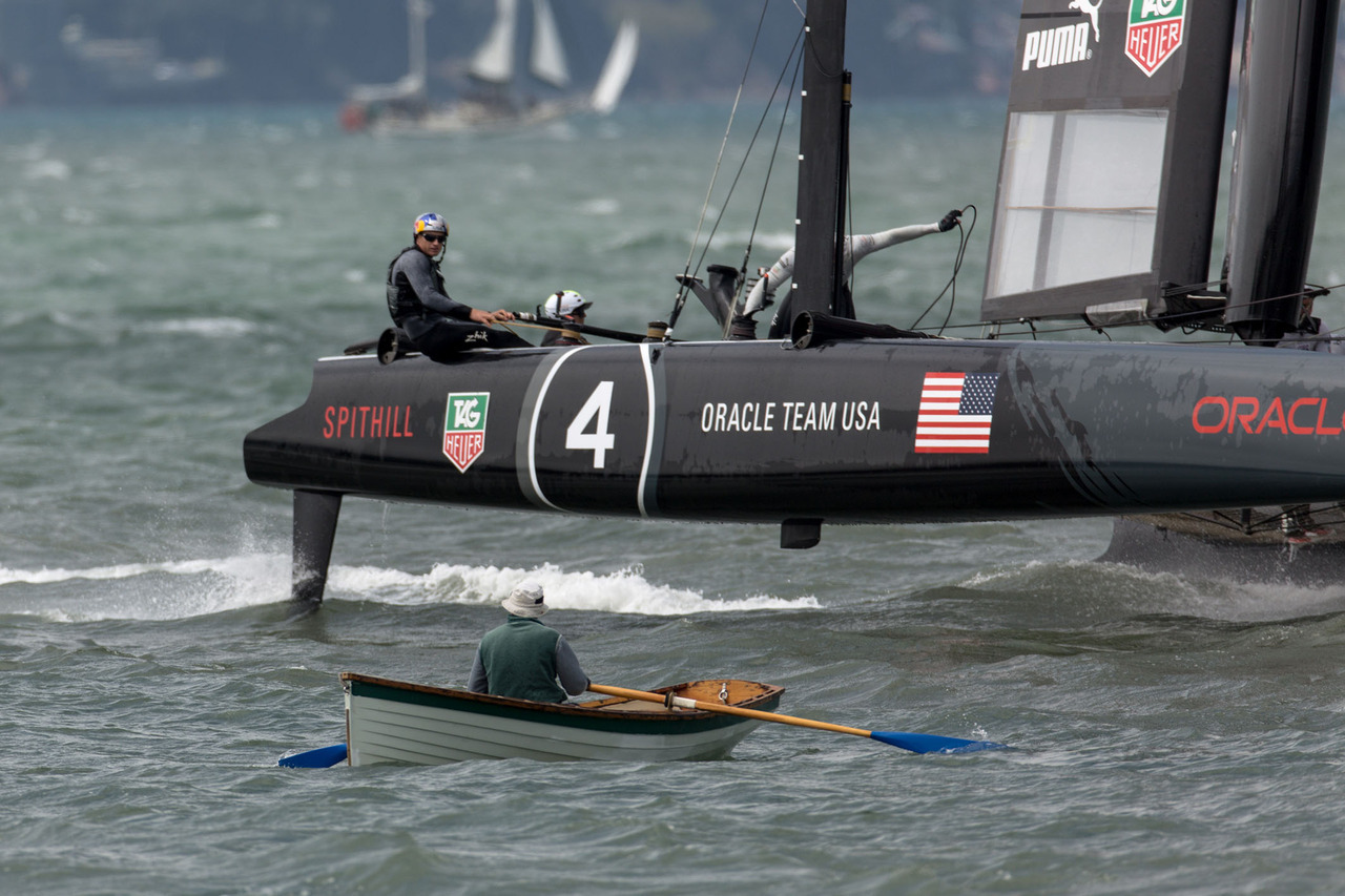
Source: Team Puma. Look out Jimmy! Keep clear when an AC45 has to steer in 20+ knts. You definitely don’t want to meet a carbon blade doing 30 mph.
On top of wind predictions, racers also have to factor the tide. They should see a 1-2 knt flood tide (slack at noon on Thursday, 1 pm on Friday). Given that the races start when tide is almost slack, it seems someone was planning the event date with an eye on the tide charts (Bay water can flow over 5 knts).
Sailing obviously is a sport where Big Data analysis (e.g. many sensors reading variable data in real-time) has always been an essential part of success. A team simply can’t be a top performer without a mastery of wind and water instruments.
Events this week should be a great time to see the world’s best sailors on the world’s best sailing technology racing in fast conditions, right on the edge of control.

Source: ETNZ. Helmets with radios and camera mounts, dry suits, low-profile life-vests, knives…ready for teamwork in any condition, it’s the look of high-performance sailing.